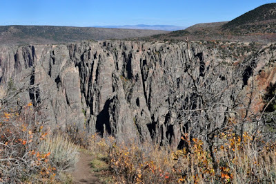
 After four hours in the park it was time to really stretch my legs. So after a brief stop at the Visitor Center to fill out a wilderness permit and chat with the ranger, I was on my way down to the canyon floor via the Gunnison Route.
 Even though I knew this was a well-traveled path, signs like this made me feel like I might be in for an adventure.
 This 80-foot section of chain about a third of the way down to help with the descent didn't change that feeling.
 The ranger stressed to me that this was a route, not a trail. As in, the Park Service didn't maintain it. Fortunately hikers were very considerate about stacking cairns like these to indicate the best way to go. I was sure to return the favor and build a couple of my own.
 It was hard to tell how far down I was until I got to spots where I could see the river. By this point, my quads were asking me what I had ever done to them since I was working so hard to control my balance and keep from falling forward as I descended.
 When I got to this point, I knew some rest by the river was in my immediate future.
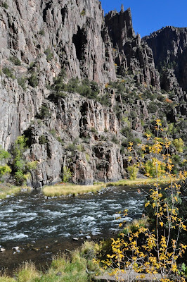
 And it was well worth the 1,800-foot descent over the mile-long route. Hard to believe how green everything still was in mid-October.
 With my thighs feeling like I'd been skiing for about a zillion hours in a row, a chance to just kick back by these clear, cool waters was welcome indeed. I watched a couple of Peregrine Falcons make lazy circles in the sky, munched a granola bar and tried to not to think that I had an 1,800-foot ascent still ahead of me.
 It was hard not to get a crick in my neck, spending so much time just looking up in awe at the sheer canyon walls. But it was even harder not to look at a sight I'd never seen anything like before.
Click here for Part II.
No comments:
Post a Comment